Educational aids
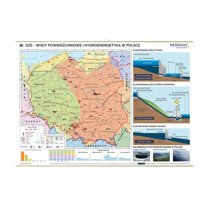
Wall map: RES - surface water and hydropower in Poland 160x120 cm
Product reference: Map000226
Tax excl.: zł259.76
Tax incl.: zł272.75
Tax incl.: zł272.75
Description
MACHINE TRANSLATION (not authorised yet)
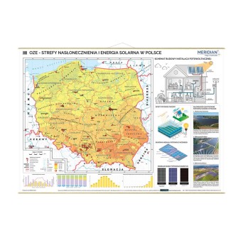
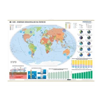
The map presents the most important information on surface waters in Poland, such as catchments, river basins, lakes, swamps and canals. The location of the largest hydroelectric power plants is also marked on the map. In addition, the map has been enriched with infographics and charts that illustrate basic issues related to the production and use of hydropower, including diagrams of different types of hydroelectric power plants.
Format: 160 x 120 cm
Scale: 1 : 735 000
Binding:
- laminated on both sides with structural foil with increased tear strength
- binding in wooden half-shells with string suspension
Polish language only!
Product Details
Map000226
You might also like


