Educational aids
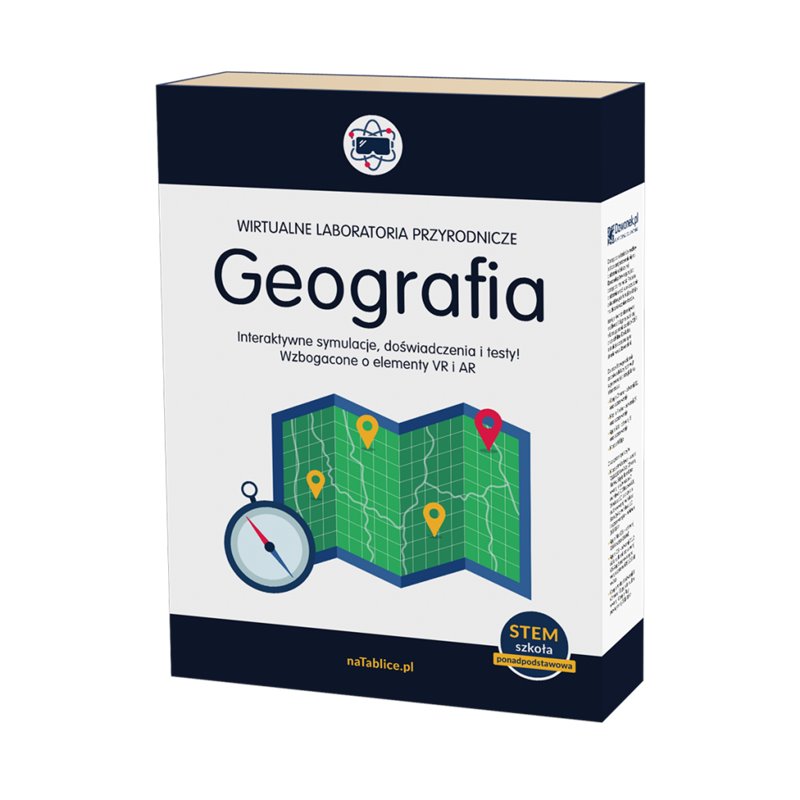
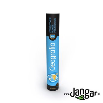
Virtual Laboratories of Natural Sciences: GEOGRAPHY - Secondary School
Product reference: Edu000070
Tax excl.: zł1,219.51
Tax incl.: zł1,500.00
Tax incl.: zł1,500.00
Description
MACHINE TRANSLATION (not authorised yet)
Virtual Natural Science Laboratories Geography are interactive materials for learning geography at the stage of secondary school. The program allows you to conduct engaging stationary and remote lessons. The resources include a variety of experiences, as well as multimedia and worksheets for printing, videos, simulations, and interactive tests for students.
WPL Geography:
1. 25 issues from the core curriculum,
2. basic and extended scope (part of the basic experience with additional content, part of the extended one),
3. graphics in the form of interactive maps, diagrams and graphs presenting issues in the field of socio-economic geography Polish and the world,
4. animations and simulations of physical-geographical phenomena and processes,
5. illustrations in three-dimensional graphics presenting the m.in celestial bodies of the Solar System,
6. tasks that require drawing conclusions based on the analysis of data in the form of tables, charts, maps.
7. attractive multimedia resources – m.in: films, animations, virtual tours, macro and microscopic photos, simulations, 3D models, experience design, additional materials for attractive learning using virtual (VR) and augmented reality (AR),
8. perpetual license for 3 teachers and 90 students.
Product Details
Edu000070
You might also like


